! Doprava ZADARMO už od 20 € !

Jazyk


Veková kategória


Hodnotenie


Dostupnosť


Väzba


Stav


Rezervácia na predajni


Edície


Česká republika 1:300 000


* S trasami lemovanými krásnou krajinou a pamětihodnostmi * Rozkládací přehledná mapa * Tabulka vzdáleností, rejstřík obcí * 4 plány měst
Vypredané
7,22 € 7,60 €

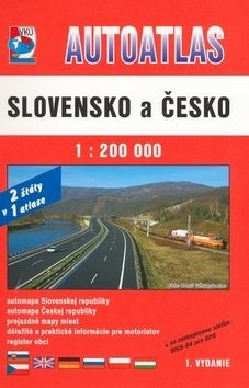
Autoatlas Slovensko a Česko


* automapa v mierke 1:200 000 * prehľadná automapa * mapy prejazdov krajských miest * register sídiel pre automapu 1:200 000 * tabuľka vzdialeností * šesťjazyčné vysvetlivky
Vypredané
11,40 € 12,00 €

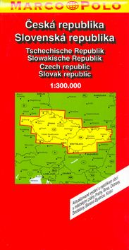
Slovenská republika 1:300 000


S trasami lemovnými krásnou krajinou a pamětihodnostmiRozkládací přehledná mapa, tabulka vzdáleností, rejstřík obcí, 21 plánů měst, evropská část
Vypredané
7,22 € 7,60 €

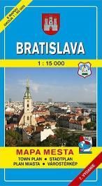
Bratislava 1/15 000


Bratislava 1/15 000
Vypredané
2,85 € 3,00 €

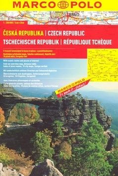
Česká republika 1:200 000


S trasami lemovanými krásnou krajinou a pamětihodnostmi Rozkládací přehledná mapa Tabulka vzdáleností Rejstřík obcí 18 plánů měst Evropská část
Vypredané
8,55 € 9,00 €

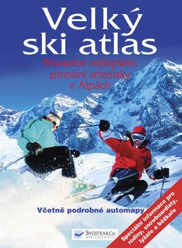
Velký ski atlas


Rádi lyžujete? Stalo se lyžování vaší vášní? Tato kniha je pro vás tou správnou volbou. Velký ski atlas vám představí ta nejlepší lyžařská střediska v Alpách včetně vyobrazení lyžařských tras. Dozvíte se v něm, jaká je cena skipasu, které lyžařské středisko je vhodné pro začátečníky a které pro zdatné lyžaře, jaká je záruka sněhové pokrývky v dané oblasti a kde se nacházejí rozlehlé terény pro freeride či běžky. Dočtete se, jak to kde vypadá s opatrováním dětí ve školkách pro hosty a lyžařských školičkách a jaká je speciální nabídka zábavy pro mladé rodiny. Co se dá podniknou po lyžování , jaká je kulinářská nabídka i kde se dá nejlépe slavit. Součástí knihy je i podrobná automapa.
Vypredané
48,65 € 51,21 €

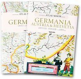
Atlas Maior - Germania, Austria Et Helvetia (Joan Blaeu Atlas Maior 1665)


Maps of Germany, Austria and Switzerland from Joan Blaeu's exquisite world atlas of 1665 The finest and most comprehensive baroque atlas was Joan Blaeu's exceptional Atlas Maior, completed in 1665. The original eleven-volume Latin edition, containing 594 maps, put Blaeu ahead
Vypredané
62,76 € 66,06 €

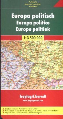
Automapa Európa 1:3,5 mil.


Europa 1 3 500 000. Autokarte, politisch Mit Ortsverzeichnis, Autofähren, Straßennummern
Vypredané
6,28 € 6,61 €

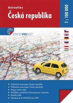
Autoatlas Česká republika 1:100 000 - 4. vydanie


•Podrobná automapa České republiky •Přehledná automapa České republiky •Mapy center měst •Důležité a praktické informace pro motoristy •Rejstřík sídel •Zeměpisná síť WGS-84 pro GPS
Vypredané
18,66 € 19,64 €

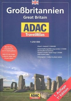
GroBritannien Great Britain 1: 250 000


Mit 53 City-, 5 Durchfahrts- und 16 Hafenplänen. With 53 city maps, 5 district maps and 16 port plans
Vypredané
24,57 € 25,86 €

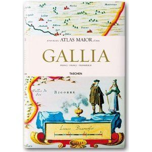
Atlas Maior - Francia (Joan Blaeu Atlas Maior 1665)


Maps of France from Joan Blaeu's exquisite world atlas of 1665 The finest and most comprehensive baroque atlas was Joan Blaeu's exceptional Atlas Maior, completed in 1665. The original eleven-volume Latin edition, containing 594 maps, put Blaeu ahead of his staunch competitor, mapmaker Joanes Janssonius, whose rivalry inspired Blaeu to produce a grandiose edition of the largest and most complete atlas to date. Covering Arctica, Europe, Africa, Asia, and America, Blaeu's Atlas Maior was a remarkable achievement and remains to this day one of history's finest examples of mapmaking. This reprint, including all 64 maps of France, is made from the National Library of Vienna's colored, gold-heightened copy, thus assuring the best possible detail and quality. Alongside original quotes from Joan Blaeu relating to the individual maps, the new text by Peter van der Krogt explains the historical and cultural associations and introduces the reader into the fascinating world of early modern cartography. The text is in French, English and German. The author: Peter van der Krogt, the leading expert in the field of Dutch atlases, is a collaborator on the Explokart Research Program for the History of Cartography at the University of Utrecht's Faculty of Geosciences. Since 1990 he has been working on Koeman's Atlantes Neerlandici, the carto-bibliography of atlases published in the Netherlands. His second project is the compilation, in co-operation with the Nijmegen University, of an illustrated and annotated catalogue of the Atlas Blaeu-Van der Hem, the most important multi-volume atlas preserved in the Austrian National Library, which was added to Unesco's ?Memory of the World? register in 2004.
Vypredané
37,53 € 39,50 €

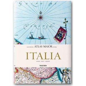
Atlas Maior - Italia


Maps of Italy from Joan Blaeu's exquisite world atlas of 1665 The finest and most comprehensive baroque atlas was Joan Blaeu's exceptional Atlas Maior, completed in 1665. The original eleven-volume Latin edition, containing 594 maps, put Blaeu ahead of his staunch competitor, mapmaker Joanes Janssonius, whose rivalry inspired Blaeu to produce a grandiose edition of the largest and most complete atlas to date. Covering Arctica, Europe, Africa, Asia, and America, Blaeu's Atlas Maior was a remarkable achievement and remains to this day one of history's finest examples of mapmaking. This reprint, including all 60 maps of Italy, is made from the National Library of Vienna's colored, gold-heightened copy, thus assuring the best possible detail and quality. Alongside original quotes from Joan Blaeu relating to the individual maps, the new text by Peter van der Krogt explains the historical and cultural associations and introduces the reader into the fascinating world of early modern cartography. The text is in Italian, English and German. The author: Peter van der Krogt, the leading expert in the field of Dutch atlases, is a collaborator on the Explokart Research Program for the History of Cartography at the University of Utrecht's Faculty of Geosciences. Since 1990 he has been working on Koeman's Atlantes Neerlandici, the carto-bibliography of atlases published in the Netherlands. His second project is the compilation, in co-operation with the Nijmegen University, of an illustrated and annotated catalogue of the Atlas Blaeu-Van der Hem, the most important multi-volume atlas preserved in the Austrian National Library, which was added to Unesco's ?Memory of the World? register in 2004.
Vypredané
37,53 € 39,50 €

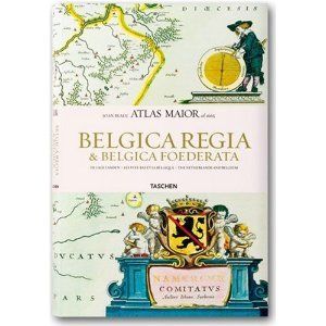
Atlas Maior - Hollandia Et Belgica (French Edition)


Maps of Holland and Belgium from Joan Blaeu's exquisite world atlas of 1665 The finest and most comprehensive baroque atlas was Joan Blaeu's exceptional Atlas Maior, completed in 1665. The original eleven-volume Latin edition, containing 594 maps, put Blaeu ahead of his staunch competitor, mapmaker Joanes Janssonius, whose rivalry inspired Blaeu to produce a grandiose edition of the largest and most complete atlas to date. Covering Arctica, Europe, Africa, Asia, and America, Blaeu's Atlas Maior was a remarkable achievement and remains to this day one of history's finest examples of mapmaking. This reprint, including all 63 maps of Belgium and Holland (known in 1665 as the Republic of the United Netherlands and the Spanish or Royal Netherlands), is made from the National Library of Vienna's colored, gold-heightened copy, thus assuring the best possible detail and quality. Alongside original quotes from Joan Blaeu relating to the individual maps, the new text by Peter van der Krogt explains the historical and cultural associations and introduces the reader into the fascinating world of early modern cartography. The text is in Dutch, French and English. The author: Peter van der Krogt, the leading expert in the field of Dutch atlases, is a collaborator on the Explokart Research Program for the History of Cartography at the University of Utrecht's Faculty of Geosciences. Since 1990 he has been working on Koeman's Atlantes Neerlandici, the carto-bibliography of atlases published in the Netherlands. His second project is the compilation, in co-operation with the Nijmegen University, of an illustrated and annotated catalogue of the Atlas Blaeu-Van der Hem, the most important multi-volume atlaspreserved in the Austrian National Library, which was added to Unesco's ?Memory of the World? register in 2004.
Vypredané
37,53 € 39,50 €

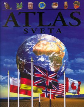
Atlas sveta


Tento ilustrovaný atlas predstaví čitateľovi celý svet, jeho regióny i národy. Zaoberá sa všetkými štátmi na jednotlivých kontinentoch. Obsahuje podrobné informácie o charaktere krajiny, jednotlivých štátoch regiónu, o podnebí, rastlinstve a živočíchoch i o dejinách jednotlivých štátov. V kapitole o Zemi sa vysvetľuje, ako vznikajú sopky, prečo dochádza k zemetraseniam, ako sa vytvárajú horniny a fosílie, i to, ako sa pohybujú kontinenty. Svet sa neustále mení a mladí čitatelia tu nájdu mapy a informácie aj o tých krajinách, ktoré vznikli len nedávno.
Vypredané
12,58 € 13,24 €

Komplet 4ks Chorvatsko


Vypredané
13,35 € 14,05 €

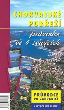
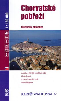
Chorvatské pobřeží 1:160 000


Autoatlas Chorvatského pobřeží v měřítku 1:160 000. Obsahuje 30 plánů měst, popisy významných turistických lokalit, barevné fotografie, podrobný rejstřík sídel a řadu dalších informací.
Vypredané
7,26 € 7,64 €

V kategórii Do auta nájdete autoatlasy, ale aj rôzne ďalšie príručky a sprievodcov, ktoré využijete pri vašich cestách na štyroch kolesách. Máte radi cestovanie a radi si prečítate príbehy z ciest, táto kategória je určená pre vás. Tu nájdete široký výber kníh, ktoré sú ideálne spoločníkmi pre vaše dobrodružstvá na cestách.

Nájdete tu autentické zážitky, dobrodružné príbehy, praktické rady a tipy od skúsených cestovateľov. Tieto knihy vám pomôžu plánovať vašu vlastnú cestu autom, odhaľovať skryté poklady a objavovať nové kultúry a miesta.

Cestopisy do auta vás prevedú cez malebné krajiny, pôsobivé panorámy a zaujímavé zastávky na vašej ceste. Budete sa ponárať do príbehov odvážnych dobrodruhov, ktorí zdieľajú svoje zážitky, vedomosti a rady pre úspešné cestovanie autom.