Freytag & Berndt
vydavateľstvo
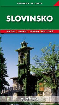
Slovinsko
Průvodce Slovinsko čtenáře poutavým způsobem seznamuje s významnými turistickými cíli v této jihoslovanské zemi pod Alpami. Slovinsko představuje nejen z hlediska jeho nezměrné přírodní krásy, bohaté historie a nepřeberného architektonického dědictví. Přináší také velké množství praktických informací pro turisty, rozsáhlou nabídku tipů na ubytování a kulturní či sportovní vyžití. Kromě bohaté obrazové části publikace obsahuje také přehledné mapy jednotlivých oblastí, plánky největších měst a slovníček frází a místních pojmů.
Vypredané
12,26 €
12,90 €
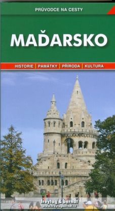
Maďarsko - Průvodce na cesty
Průvodce zajímavě, podrobně a přehledně informuje o nejvýznamnějších turistických cílech této středoevropské země z hlediska přírodních krás, historie a kulturního vyžití. Nabízí také množství užitečných kontaktů a další praktické informace.
Vypredané
9,41 €
9,90 €
Portugalsko - průvodce na cesty
Průvodce poutavě a přehledně představuje nejvýznamnější turistické cíle v zemi při Atlantském oceánu. Podrobná charakteristika obsahuje všeobecné informace o historii, přírodě a památkách, stejně jako řadu praktických rad pro turisty, včetně možností
ubytování a kontaktů na vybraná přímořská letoviska. Publikace je přehledně členěna podle tří základních oblastí (Severní, Střední a Jižní Portugalsko), popis nejzajímavějších míst doplňují mapy, plány měst a množství fotografií. Nechybí slovníček m
ístních pojmů a rejstřík.
Vypredané
9,41 €
9,90 €
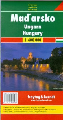
AM Maďarsko 1:400 000
Automapa obsahuje:
- Plány miest
- Turistické informácie
- Register obcí s PSČ
Vypredané
4,74 €
4,99 €
Rumunsko - Moldavsko 1:500 000 - automapa
Romänien - Moldawien - Citypläne
- Ortsregister mit Postleitzahlen
- Touristische Informationen
Rakousko
Průvodce podrobně a přehledně informuje o nejvýznamnějších turistických cílech v alpské zemi našich jižních sousedů. Rakousko představuje nejen z hlediska jeho nezměrné přírodní krásy a bohaté historie, ale přináší také velké množství praktických inf
ormací, rozsáhlou nabídku tipů na ubytování a sportovní vyžití. Kromě bohatého obrazového materiálu (přes 130 snímků) publikace obsahuje přehledné mapy jednotlivých spolkových zemí, plány hlavních spolkových měst a slovníček nejužívanějších pojmů.
HEDVABNA STEZKA CESTOPIS
Průvodce nabízí návod, jak a kudy přejet po zemi podstatnou část Asie. Popisované trasy sledují historickou Hedvábnou stezku - síť obchodních cest, které přes 2 000 let spojovaly Čínu s Indií, Blízkým Východem a Evropou. V rámci putování mezi Ista
nbulem a Pekingem kniha představuje stovky zajímavých míst v Turecku, Íránu, Pákistánu, Afghánistánu a Číně. Publikace obsahuje množství podrobných a aktuálních informací, ale líčí také osobní zážitky, postřehy a dojmy cestopisného charakteru.
Vypredané
15,11 €
15,90 €
Korfu, Jónské ostrovy
Průvodce přehledně a podrobně seznamuje s nejvýznamnějšími turistickými cíli na Korfu a dalších Jónských ostrovech při západním pobřeží Řecka. Největší pozornost je věnována vlastnímu Korfu, ale nejsou opometunty ani Zakyntos, Kefalonia, Lefkada a da
lší menší ostrovy. Podrobná charakteristika obsahuje všeobecné informace o historii, přírodě a památkách, stejně jako řadu praktických rad pro turisty, včetně možností ubytování a užitečných kontaktů. Popis nejzajímavějších míst doplňují mapy, plánky
a množství fotografií. Nechybí slovníček místních pojmů a rejstřík.
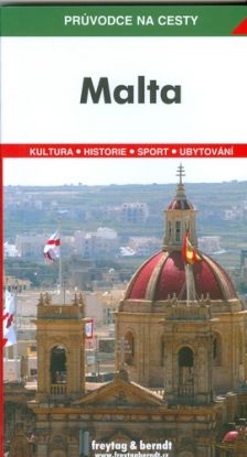
Malta
Průvodce představuje krásy středomořského ostrovního státu. Čtenáři poskytuje ucelený přehled o tamní historii, přírodním bohatství a architektonických skvostech. Publikace je přehledně uspořádána podle jednotlivých oblastí. K dispozici jsou podrobné
turistické informace, včetně tipů na ubytování či sportovní a kulturní vyžití. Průvodce obsahuje rovněž mapy oblastí, plány vybraných měst, slovníček místních pojmů a rejstřík. Atmosféru ostrova přibližuje množství barevných fotografií.
Vypredané
7,51 €
7,90 €
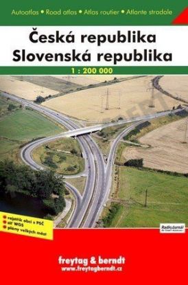
Autoatlas ČR+SR 1:200 tis
Autoatlas obsahuje:
- Register miest
- Plány veľkých miest
- Tabuľku vzdialeností
...
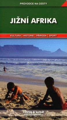
Jižní Afrika
Průvodce představuje jednu z nejkrásnějších afrických zemí. Vedle všeobecné charakteristiky území a praktických turistických informací poskytuje rozsáhlou nabídku tipů na ubytování a výlety do okolí. Podle jednotlivých provincií seznamuje s historick
ými a kulturními památkami země, podobně jako s národními parky a dalšími zajímavostmi nádherné přírody. Součástí publikace je bohatý obrazový materiál, přehledné mapy jednotlivých oblastí, podrobné plány vybraných měst a slovníček důležitých pojmů.
Užitečný je rovněž malý průvodce po Safari.
Norsko
Průvodce nabízí ucelený přehled o nejvýznamnějších turistických cílech severské země. Norsko představuje podle jednotlivých krajů a to nejen z hlediska bohaté historie a krásné přírody. Kniha přináší také velké množství praktických informací, rozsáhl
ou nabídku tipů na ubytování a výlety do okolí. Kromě bohaté obrazové části obsahuje publikace přehledné mapy krajů, plány vybraných měst a slovníček nejužívanějších místních pojmů.
Vypredané
9,41 €
9,90 €
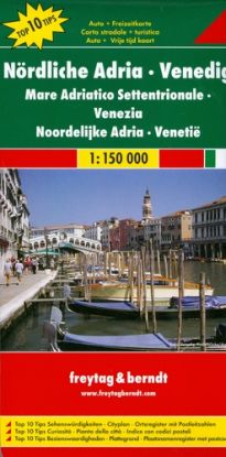
Severný Jadran - Benátky 1:150 000 - automapa
Kniha Northern Adriatic Sea, Venice 1:150 000: Aký je váš názor? Povedzte ho ostatným návštevníkom ako prvý!
