! Doprava ZADARMO už od 20 € !

Jazyk


Veková kategória


Hodnotenie


Dostupnosť


Väzba


Stav


Rezervácia na predajni


Edície


Knihy - Turistika, skaly strana 40 z 46

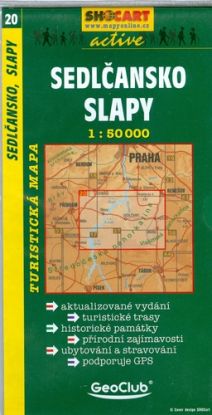
SEDLCANSKO,SLAPY 20


Podrobná turistická mapa v měřítku 1 : 50 000 (1 = 500 metrů) obsahující kompletní síť značených turistických a cykloturistických tras aktualizovaných vždy s datem vydání. Na zadní straně mapy jsou přehledně zpracovány textové informace o atraktivit ách znázorněného území. Vše je dokresleno panoramatickým pohledem na danou oblast a doplněno fotografiemi. Mapy je možné použít s GPS navigačním systémem v souřadnicovém systému WGS84.
Vypredané
6,83 € 7,19 €

BRNO PL21 1:16000


Vypredané
8,54 € 8,99 €

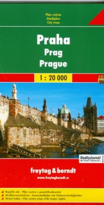
Praha-Prague 1:20000


Obsahuje: - Turistické informace - Plánek centra města - Rejstřík ulic
Vypredané
8,54 € 8,99 €

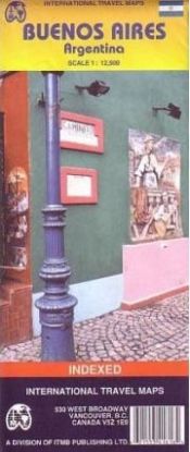
BUENOS AIRES 1:12.5 TIS.


Folded road and travel map of Buenos Aires in color. Scale 1:12,500. Distinguishes 4 types of roads, ranging from Expressways to minor roads. Legend shows places to stay and places of interest, parks, churches, museums, department stores, bus terminals, stadiums, police stations, hospitals. Includes inset of Buenos Aires and Region. Buenos Aires Subway/Metro System is printed on back of the map. Legend in English and Spanish.
Vypredané
9,11 € 9,59 €

South africa


Double sided road and travel map. Scale 1:1,500,000. Distinguishes roads ranging from freeways to tracks. Legend includes railways, ferry lines, waterfalls, national parks, nature reserves, wild life/game reserves, dunes, international/domestic airports, airfields, springs, hot springs, border crossings, points of interest, churches/missions, ruins/archaeological sites, beaches, diving, museums, forts, campsites/huts, rest houses/bungalows, caves, World Heritage Sites, clinics, police stations. Includes inset map of Pretoria, Johannesburg and Cape Town. Extensive place name index. Printed on a durable synthetic paper suitable for tropical conditions.
Vypredané
9,49 € 9,99 €

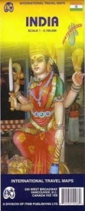
India 1:2 100 000


Folded road and travel map in color. Scale 1:2,100,000. Distinguishes roads ranging from main highways to other roads. Legend includes trails, railways, reefs, glaciers, historic cities, settlements, forts/castles/ruins, palaces/houses of interest, museums, churches, temples (Hindu,Jain,Parsi), mosques, Buddhist temples, beaches, gardens, border crossings, international/domestic airports, other places of interest, buildings of interest, national parks/forests, wildlife parks, hill stations, scenic places, resort areas, bridges of interest, golf courses, rafting/boating sites, ski resorts.
Vypredané
9,49 € 9,99 €

Nepal 1:530 000


An easy-to-use road map of Nepal to plan your trip, to prepare your itinerary, and to travel independently in this Asian country.
Vypredané
9,49 € 9,99 €

Taiwan and Taipei 1:386 000


This is a steady selling map of a part of the world growing in popularity as it becomes evident that China's bluster about invading is just so much wind. Folded, indexed travel map. Taiwan map distinguishes roads ranging from dual lane highways to other roads/cart tracks. Legend includes highspeed railways, railways, national parks, scenic areas, mountain peaks (height in feet), international/national airports, places of interest, beaches. Includes inset map of Tainan. Taipei map legend includes MRT subway with station, Taiwan national railroad, Taiwan highspeed train, parks, attractions, shopping streets, temples, accommodations, museums, points of tourist interest, bicycle routes, hiking/walking paths, hospitals, malls, hot springs, bus terminals, ferry terminals, pedestrian streets. Includes inset map of Taipei region.
Vypredané
9,49 € 9,99 €

America central 1: 1 100 000


Double sided road and travel map covers the area from Belize and Guatemala to the border with Colombia at the scale of 1:1,100,000. It includes insets with Environs of San Jose (C.Rica), Panama Canal Area, Isla de Coco and Isla de San Andres. Distinguishes roads ranging from highways (paved/unpaved) to seasonal tracks. Legend includes swamps, glaciers, reefs, active volcanoes, railways, ferry routes, protected areas/national parks, international airports, domestic airports with scheduled services, landing grounds, points of interest, ruins, lighthouses, mines, beaches, gas stations, border crossing points. Extensive index, general information on the listed countries.
Vypredané
9,49 € 9,99 €

Syria and Jordan 1:700 000 / 1:850 000


Folded road and travel map. Scale 1:700,000/1:850,000. Distinguishes roads ranging from motorways to tracks/trails. Legend includes railways, salt flats, deserts, railway stations, accommodations, archaeological sites/ruins, beaches, churches, synagogues, international/domestic airports, mosques, border crossings, towers/forts/castles, museums, springs/waterholes, parks/reserves, campsites, gas stations. Includes inset map of Amman and Damascus. Indexed.
Vypredané
9,49 € 9,99 €

WIEN REISENPLAN 1:12500 PL60


- Umgebungskarte - Durchfahrtsplan - Flughafen - Innenstadt - Straenverzeichnis
Vypredané
13,29 € 13,99 €

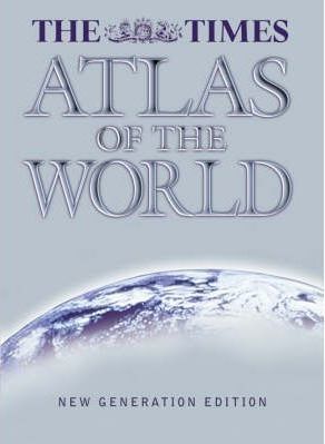
Times Atlas Of The World (World Atlas)


This new edition of "The Times Atlas of the World" brings it fully up-to-date. Eight pages have been added to the reference map section for this edition and all maps have been completely updated, providing accurate coverage of the whole world. The atlas includes unique satellite images of the continents and comprehensive statistics relating to the world's physical features and states and territories. It features: 104 pages of authoritative mapping of the whole world, plans of 46 of the world's major cities, geographical reference section with flags, statistics and facts for the world's states and territories, statistics and world maps on major geographical themes, including population, cities, climate and land cover, and continental satellite images, with statistics of the world's major physical features.
Vypredané
72,21 € 76,01 €

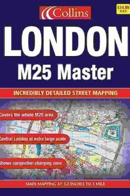
LONDON M25/MASTER ATLAS CO


This atlas uses Collins/Bartholomew digital database mapping and covers the whole of the M25 area. There are colour classified roads, buildings, postal district boundaries, car parks, hospitals and police stations, and general places of interest. The area of coverage extends from Brookmans Park in the north to Redhill in the south and from Slough in the west to Gravesend in the east, with an extended area of central London stretching from Kensington Gardens to Greenwich.
Vypredané
21,10 € 22,21 €

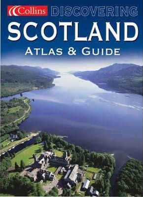
Scotland atlas & guide


Scale: 3. 5 miles to 1 inch. Full colour atlas of Scotland with brief descriptive text, information, websites and phone numbers for all the best places to visit. MAIN FEATURES Full, detailed mapping of Scotland, complete with guide information on places of tourist interest. The atlas and guide is divided into tourist regions and is fully colour coded to aid use. INCLUDES, Route planning maps of Scotland at 30 miles to 1 inch, Map showing tourist regions, Detailed 3. 5 miles to 1 inch road mapping, Information on places to visit arranged by tourist region. The area covered by the product includes the whole of Scotland including the islands. There are large scale town and city centre plans of Glasgow, Edinburgh, Dundee, Perth, Aberdeen and Inverness. This title is ideal for anyone who wants to get the most out of this beautiful country.
Vypredané
18,26 € 19,22 €

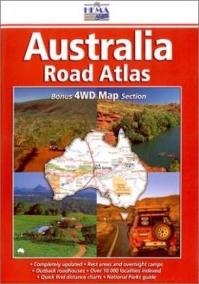
AUSTRALIA-ROAD ATLAS


New edition of this Australian atlas.
Vypredané
29,30 € 30,84 €

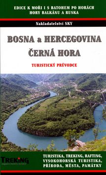
Bosna a Hercegovina, Černá Hora


Tato publikace je svým rozsahem a zpracováním ojedinělým počinem na našem knižním trhu. Poslední komplexní zpracování jugoslávských hor se objevilo na pultech knihkupectví před více jak 20 lety z produkce nakladatelství Olympia. Od té doby se však v tomto regioně mnohé změnilo. Nejenže se Jugoslávie rozpadla na řadu samostatných zemí, ale zanikla či nově se objevila řada turistických objektů, změnily se, díky občanské válce a rozsáhlým minovým polím turistické možnosti v jednotlivých pohořích. Staré bedekry tak lze použít jen ve velice omezené míře. Mezinárodní autorský tým je zajisté zárukou podrobného a přesného zpracování popisovaného území. ..
Vypredané
12,94 € 13,62 €

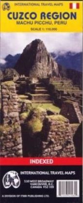
Cuzco Region 1:110 000


Folded road and travel map in. Scale 1:110,000. Distinguishes 3 types of roads, ranging from paved major highway to dirt roads. Legends includes: dirt/hiking tracks, hotels, campings, bus stops, ruins, aqueducts, glaciated peaks, parks, attractions, ruins, points of interest, markets, Inca Walls. Includes inset of Aguas Calientes, Machu Picchu World Heritage Site, Inca Trail, Cusco Downtown (1:11,000), Railroad Information, Inca Ruins and Town Index.
Vypredané
13,53 € 14,24 €

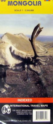
Mongolia 1:2500000


Map of the country and portions of its neighbors with elevations indicated by color changes. Legend locates international and provincial boundaries, roads from main roads to permanent unpaved tracks, airports and airfields, settlements from major cities (over 30,000) to smaller cities and towns, points of interest, official tourist resorts, official campsites, nature sights, streams, lakes, swamps, sand dunes, glaciers, mountain passes (with height in meters), nature reserves. Ulaan Baatar city map legend locates markets, cheap restaurants, cinemas, shops, police stations, embassies, post offices, hotels, hospitals, temples, museums, other facilities of interest. Index, brief glossary of key geographic terms. Scale 1:1,200,000. With inset map of Ulaan Baatar, map of terrain/climate zones. Printed on one side.
Vypredané
13,53 € 14,24 €

Vietnam 1:1 000 000


Map of the country and portions of its neighbors with elevations shown by color changes. Legend for country map locates settlements from major cities to small towns, international and provincial borders, border crossings, main and other roads (with distances in kilometers), railways, airports, importan ports, Ho Chi Minh Trail, points of interest, beaches, mines, lighthouses, swamps, national parks, passes. Index of Vietnamese cities. Descriptions and photos of highlights. Scale 1:1,000,000. Inset maps of central Hanoi and central Ho Chi Minh City (both with comprensive indexes). Printed on both sides.
Vypredané
11,64 € 12,25 €

Ak sa musíte ísť vždy, keď vás volajú hory a váš duch túži po dobrodružstvách v prírode a vysoko v skalách, táto kategória je určená práve pre vás. Nájdete tu široký výber kníh, ktoré vás sprevádzajú na cestách do úchvatných horských prostredí, poskytujú vám informácie o turistických trasách a prinášajú vám príbehy odvážnych dobyvateľov skál.

Kategória "Turistika, skaly" vám otvára dvere do fascinujúceho sveta turistiky a horolezectva. Nájdete tu knihy, ktoré vás povedú cez náročné horské chodníky, ponúkajú návody pre horolezcov, a zdieľajú príbehy odvážnych dobyvateľov skalných vrcholov. Tieto knihy vám poskytnú cenné rady, techniky a inšpiráciu pre vaše vlastné dobrodružstvá v horách.

Pri prehľadávaní tejto kategórie narazíte na príbehy odvahy, presadzovania sa, stretávania s prírodnými krásami a zdolávania výziev. Budete sa ponárať do opisov horských panorám, úchvatných skalných útvarov a jedinečných prírodných rezervácií. Nájdete tu knihy o technikách lezenia, príprave na turistické výpravy a objavovanie skrytých pokladov v prírode.