! Doprava ZADARMO už od 20 € !

Jazyk


Veková kategória


Hodnotenie


Dostupnosť


Väzba


Stav


Rezervácia na predajni


Edície


Knihy - Turistika, skaly strana 41 z 46

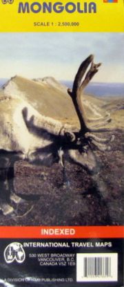
Mongolia 1:2500000


Map of the country and portions of its neighbors with elevations indicated by color changes. Legend locates international and provincial boundaries, roads from main roads to permanent unpaved tracks, airports and airfields, settlements from major cities (over 30,000) to smaller cities and towns, points of interest, official tourist resorts, official campsites, nature sights, streams, lakes, swamps, sand dunes, glaciers, mountain passes (with height in meters), nature reserves. Ulaan Baatar city map legend locates markets, cheap restaurants, cinemas, shops, police stations, embassies, post offices, hotels, hospitals, temples, museums, other facilities of interest. Index, brief glossary of key geographic terms. Scale 1:1,200,000. With inset map of Ulaan Baatar, map of terrain/climate zones. Printed on one side.
Vypredané
13,53 € 14,24 €

Vietnam 1:1 000 000


Map of the country and portions of its neighbors with elevations shown by color changes. Legend for country map locates settlements from major cities to small towns, international and provincial borders, border crossings, main and other roads (with distances in kilometers), railways, airports, importan ports, Ho Chi Minh Trail, points of interest, beaches, mines, lighthouses, swamps, national parks, passes. Index of Vietnamese cities. Descriptions and photos of highlights. Scale 1:1,000,000. Inset maps of central Hanoi and central Ho Chi Minh City (both with comprensive indexes). Printed on both sides.
Vypredané
11,64 € 12,25 €

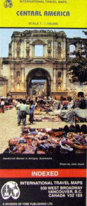
Central America Map (Travel Reference Map)


Travel map of Central America in color. Color changes show elevations. Shows roads from paved Inter-American Highways to secondary and seasonal tracks, with distances in kilometers, railways, airports and landing grounds, ferry routes, active volcanoes, mountains with altitude in meters, national parks and protected areas, points of interest, mines, mining and prospecting areas, beaches, gas stations, more. With maps of Panama Canal area, environs of San Jose, San Andres Island. Includes index of places, facts in brief about each country, descriptions of geography and highlights. Main map scale 1:1,100,000. Distances in kilometers and miles. Printed on both sides.
Vypredané
11,64 € 12,25 €

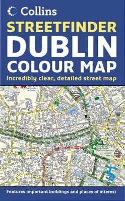
Dublin Streetfinder Colour Map


4 inches to 1 mile 1:15,840 approx. Full colour map of Dublin with street level detail and full index to street names. The mapping is fully updated and is presented in a durable card cover. MAIN FEATURES Fully updated street map for 2005 with clear, colour classified streets named and numbered plus places of interest, all fully colour coded for ease of use. INCLUDES / Important buildings and places of interest / Car parks and railway stations / Full index to street names AREA OF COVERAGE From Ballymun and Baldoyle in the north to Dundrum in the south, includes Castleknock and Phoenix Park in the west to the coast in the east. WHO THE PRODUCT IS OF INTEREST TO Residents, businesses and visitors will all find this map a useful purchase.
Vypredané
10,69 € 11,25 €

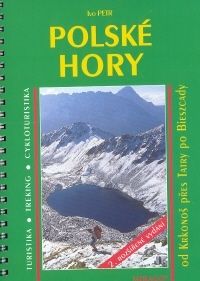
Polské hory 2.vyd.


Polské hory jsou ideálním územím pro celoroční aktivity. Vydejme se tedy na cestu po naší severní hranici objevit tuto blízkou, přitom tak neznámou zemi...1. vydání průvodce Polské Karpaty je zde rozšířeno o všechna pohoří Sudetské horské soustavy od Jizerských hor po masiv Sněžníku a doplněno popisem velmi zajímavých oblastí Ojcovského národního parku.
Vypredané
10,69 € 11,25 €

London street atlas


1:20,000 3.17 inches to 1 mile. 6.4 inches to 1 mile for central area (1:10,000). This handy little atlas features high quality Collins mapping. A huge amount of detail is contained within the mapping without compromising the clarity. Central London is mapped at a larger scale. MAIN FEATURES / Extremely clear, attractive, full colour mapping with enlarged central area / Full index to place and street names / Theatres and cinemas map, plus shopping map INCLUDES / Colour coded primary routes and public buildings / Street markets and pedestrian streets / Borough boundaries plus postal district boundaries and codes AREA OF COVERAGE Extends from Epping Forest in the north to Chessington in the south and from Heathrow in the west to Bexley in the east. WHO THE PRODUCT IS OF INTEREST TO This atlas, with its huge amount of detail and the clarity of the mapping is an essential purchase for all residents and businesses in and around London.
Vypredané
10,69 € 11,25 €

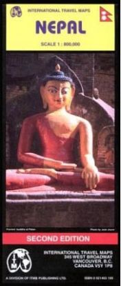
NEPAL 1/800TIS. ITM


Folded road and travel map. Scale 1:800,000. Distinguishes roads ranging from major roads to tracks (four-wheel drive). Legend includes paths/trek routes, high altitude paths, railways, national parks, wildlife reserves, forts, palaces/buildings of interest, museums, buddhist temples, hindu temples, mosques, gardens, caves, viewpoints, hotels, park lodges, tented camps/campsites, airports/landing strips. Includes inset map of Kathmandu Valley and Kathmandu City.
Vypredané
10,69 € 11,25 €

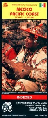
MEXICO PACIFIC COAST 1:1000000


A travel reference map.
Vypredané
10,69 € 11,25 €

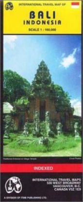
BALI INDONESIA 1:160 000


Scale 1:160,000. With inset map of Denpasar city center. Printed on one side. Map of the island, smaller nearby islands, and the eastern edge of Java with topographical contours, elevations indicated by color changes. Legend locates roads from freeways to minor roads, park boundaries, swamps, accommodations, beaches, caves, diving, golf, temples, points of interest, scenic viewpoints. Much information also indicated directly on map ("Various Hotels Along the Beach", "Stormy Undercurrent", etc.). With inset captioned photos of landmarks and scenery, index of place names.
Vypredané
10,69 € 11,25 €

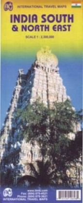
INDIA SOUTH,NORTH EAST


Double sided regional travel map at a detailed scale of 1:2,300,000. Distinguishes roads ranging from main highways to undeveloped roads. Legend includes railways, glaciers, reefs, tourist attractions, other places of interest, palaces/houses of interest, churches, historic cities/settlements, forts/castles/ruins, museums, temples, hospitals, mosques, beaches, international/domestic airports, buildings of interest, national parks, wildlife parks, hill stations, scenic places, resort areas, gardens, caves, golf courses, rafting/boating sites, border crossings. Extensive place name index.
Vypredané
10,69 € 11,25 €

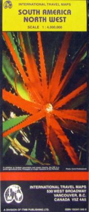
South America North West 1:4 000 000


Map of the region with topographical contour lines and elevations shown by color changes. Legend locates international, state, and provincial boundaries, settlements from major cities to villages, roads from Pan-American Highway system to seasonal tracks and trails, railways, airports and airfields, mines, oil pipelines, reefs, wells, streams, canals, and other hydrography, national parks and reserves, points of interest, ruins. Indexes of national monuments and protected areas. Descriptions of selected points of interest. Scale 1:4,000,000. Inset maps of Isla Margarita, San Andres. Printed on one side.
Vypredané
13,56 € 14,27 €

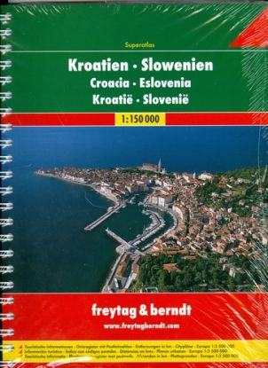
Chorvátsko a Slovinsko 1 : 150 000 superatlas


Autoatlas obsahuje přehledné mapy celého území Chorvatska a Slovinska v měřítku 1 : 150 000, s praktickým značením, množstvím podrobných plánů chorvatských a slovinských měst a bohatým rejstříkem. Součástí je rovněž atlas Evropy v měřítku 1 : 3 500 000.
Vypredané
18,91 € 19,90 €

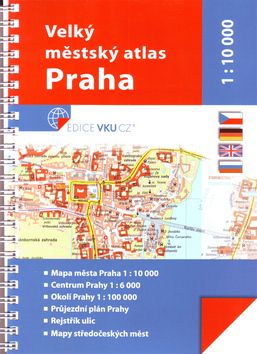
Veľký méstsky atlas Praha 1:10 000


•Mapa města Praha 1 : 10 000 •Centrum Prahy 1 : 6 000 •Okolí Prahy 1 : 100 000 •Průjezdní plán Prahy •Rejstřík ulic •Mapy středočeských měst
Vypredané
17,00 € 17,89 €

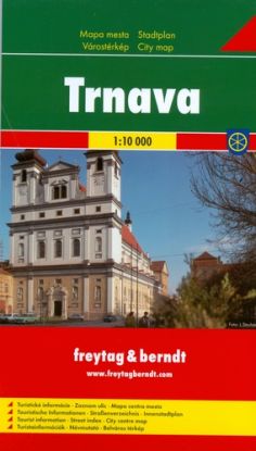
TRNAVA 1:10 000


Trnava leží v centre Trnavskej pahorkatiny, 50 km od hlavného mesta Slovenska Bratislavy a 110 km od hlavného mesta Rakúska - Viedne. Obsahuje: - Turistické informácie - Zoznam ulíc - Mapa centra mesta 1:6 000
Vypredané
3,44 € 3,62 €

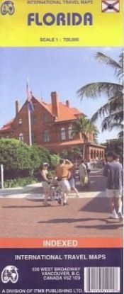
FLORIDA 1/720 000


Road and travel map in color. Distinguishes seven levels of highways and roads from toll highways to minor roads. Places of interest marked directly on the map: trails, waterways, ferries, protected areas and Indian reserves, historical sites, fishing, parks, scuba / snorkel sites, airports and harbors. Brief profiles of popular destinations. Charts with contact phone numbers include: festivals and events, universities, spring baseball training camps, casinos and pari-mutuels. Other charts include mileage guide, state park guide. Color changes show elevations. Scale 1:720,000.
Vypredané
8,80 € 9,26 €

London turist atlas


This pocket-sized atlas and guide of central London is full of information to help visitors make the most of their visit. The guide includes essential information such as: emergency contact numbers, the best way to get around, the best places to shop and visit, and where to go for live music, the cinema, concerts and more. It includes: colour coded street mapping at 5.28 inches to 1 mile, a full index to street mapping and places of inerest. This guide would be useful for both tourists and day trippers.
Vypredané
8,80 € 9,26 €

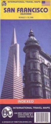
SAN FRANCISCO 1:12.5TISIC


Folded street and travel map of San Francisco. Scale 1:12,500. Distinguishes 5 types of roads, ranging from Expressways to minor roads. Legend shows places to stay and places of interest, subway stations, bus stations, parks, churches, museums, bicycle routes, bus/ferry terminals. Includes inset of the San Francisco Public Transport System, San Francisco Bay Region. Legend in English and Spanish.
Vypredané
8,80 € 9,26 €

Ak sa musíte ísť vždy, keď vás volajú hory a váš duch túži po dobrodružstvách v prírode a vysoko v skalách, táto kategória je určená práve pre vás. Nájdete tu široký výber kníh, ktoré vás sprevádzajú na cestách do úchvatných horských prostredí, poskytujú vám informácie o turistických trasách a prinášajú vám príbehy odvážnych dobyvateľov skál.

Kategória "Turistika, skaly" vám otvára dvere do fascinujúceho sveta turistiky a horolezectva. Nájdete tu knihy, ktoré vás povedú cez náročné horské chodníky, ponúkajú návody pre horolezcov, a zdieľajú príbehy odvážnych dobyvateľov skalných vrcholov. Tieto knihy vám poskytnú cenné rady, techniky a inšpiráciu pre vaše vlastné dobrodružstvá v horách.

Pri prehľadávaní tejto kategórie narazíte na príbehy odvahy, presadzovania sa, stretávania s prírodnými krásami a zdolávania výziev. Budete sa ponárať do opisov horských panorám, úchvatných skalných útvarov a jedinečných prírodných rezervácií. Nájdete tu knihy o technikách lezenia, príprave na turistické výpravy a objavovanie skrytých pokladov v prírode.